Oh Boy! Was this an adventure! Trying to find the trail head is hard enough never mind the climb. The hike started off nice and easy but then we crossed Rte 6 into pure torture.
First we made the mistake of following GPS to get us to the entrance of the park. It dropped us off on a very deserted road. We now think it was one end of the trail but there were no markings as to where to start. I remembered another entrance we passed on the way to that one so we drove back to that one. Nope, that wasn't it either. All we saw was dried up river bed.
It was beautiful but really stinky!
Again, I remember there being another entrance before this one. "Let's go try that, " I said. Dam, literally. Not to mention taking all the dam pictures we wanted, avoiding dam fudge, and making a dam crossing. Yup! We thought of them all.
 |
| Dam road. |
|
|
 |
| Dam sign. |
 |
| Dam view. |
 |
| Dam other side. |
 |
| Dam restriction. |
 |
| Dam drought. |
Ugh! Ok! Let's get out the map and figure out where in the world we are. So the entrance to the park is right off route 6 grrrr. At least with the park pass we didn't have to pay to park. It was now pretty late and we were starving so we found a picnic table.
 |
| Lunch view, don't get fooled, it's not the trail. |
|
So we still couldn't find the trail head. we tried looking at this map in the park.
 |
| What a joke. Most useless map ever made. |
We decided to get in the van and drive to the beach part of the park to look for the trail head. We were met with other confused people and some girl screaming and yelling that she was leaving while her boy friend tried to get her to come back.
 |
| Our utter state of confusion. |
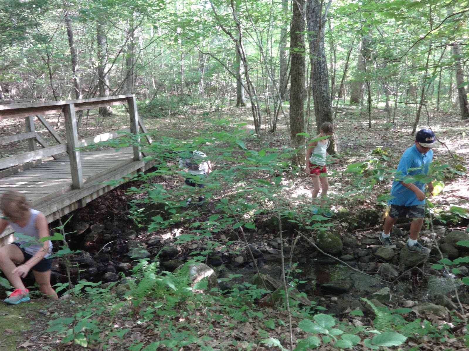
We crossed that bridge and took a right which brought us back to where we ate lunch. We walked down the trail behind the bathrooms and it took us to some camp grounds.
 |
| The wrong way again. |
I bravely asked some guy and his kids where the trail head was. He gave us a confused look, rattled off some directions and we walked away more confused than we were before. We decided to go back the way we came and ask at the ranger station where the trail head is. The map inside was just as useless as the ones posted all over the park. The ranger took one look at us, laughed, and proceeded to tell us we had to go back to the bridge and go the other way. That trail will split in two but basically they go to the same place. So off we go.
 |
| Finally going in the right direction. |
|
Like I said before the beginning of the trail was fairly flat and didn't take much effort. The kids were having fun expounding energy with a little par core.
 |
| The calm before the storm. |
Just after this we crossed a park road to find fallen trees and a torturous uphill climb. Yes the rock was all sparkling and pretty but that's just Jehovah's way of making you enjoy the creations despite your extreme pain. Haha!
 |
| Really?! |
 |
| Utter relief she made it. |
 |
| My turn! |
|
 |
| Taking a rest and catching a view. |
 |
| Don't fall. |
This was all near the beginning of our torture. I guess we were gluttons for punishment because we kept hiking for about another 45 mins. We had no idea where were where on the map and how much further to go.
 |
| The point when I sent the kids ahead to see if they could find the top. |
 |
| We decided this is the top, even if it wasn't. |
 |
| Rte 8 from the Black Rock. |
 |
| So hot and tired I couldn't even open my eyes. |
Now after almost 2 hours of hiking we needed to now make our way back down to the car. Merick literally saved my life by pulling me up the climbs on the way back. Yes it was up hills both ways, I know, I know. My knee felt like someone was stabbing me and my sciatica was acting up. We did see some beautiful things and we laughed and had a great time together, lost.
We still have no idea where and what trail we were on because the park ranger told us the wrong way on the map. After we came down we realized what he showed us on the map was the opposite direction of what the trail really was.
So if you decide to do this hike be prepared!!!! We ran out of water about half way back down. Wear good shows, build up your leg muscles, and carry plenty of water and maybe an energy snack.
Well till next time!